MUST SEE Warhammer: The Most Badass Map of Them All!


One group of fanatical Warhammer gamers have put together a map you MUST SEE!
Gitzman’s Gallery, home of the Reckless Dice Podcast have a thing for cartography. They have an enormous collection of tools and playaids for Warhammer Fantasy Roleplay. Most importantly, they have a fantastic map collection, collected from pretty much everywhere over the decades.
Where it gets cool however… is this:
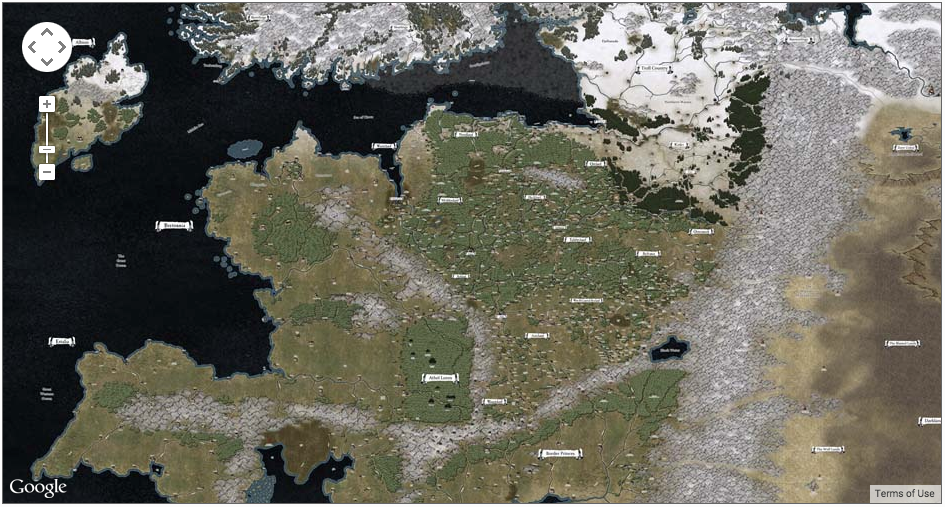
Those crazed mapmakers have integrated some google maps APIs and put together a hand crafted master map of the Old World that is ENORMOUS! I mean just read thier own description:
“This map is HUGE! It’s 29,952 pixels wide by 22,528 pixels tall. It includes, with incredible detail, all provinces of The Empire, Bretonnia, Estalia, Tilea, The Border Princes, Norsca, Troll Country, The Dark Lands, The Worlds Edge Mountains, Albion, The Badlands, Araby and more. This mega map was melded together by hours of photoshoping by Gitzman and is a compilation of all available maps into a single continuous, high detail map.
Some original artwork is credited to Andreas Blicher, based upon Alfred Nunez, Jr.’s outstanding cartography and research. Many other sources were used including those from the Warhammer Maps page.”
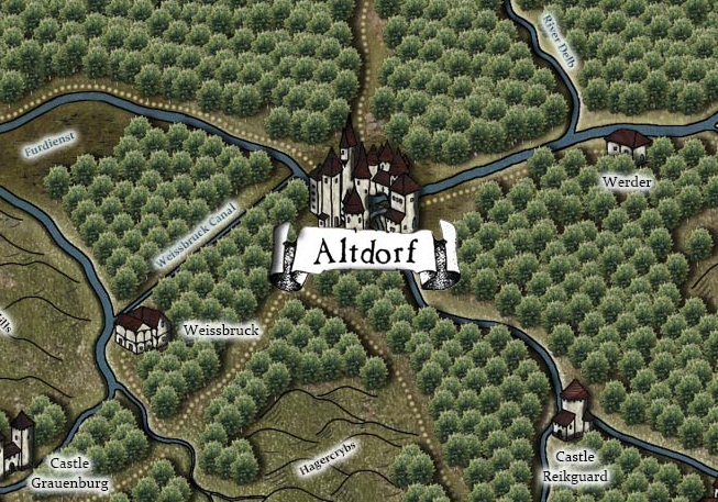
Once you zoom in and start exploring, its a giant warhammer version of Google Earth. Every inch leads to more and more cities, roads, ruins, villages and the promise of adventure.
I’ve never seen any map project this massive and ambitous. When you realize the entire map was hand created by having to integrate the information found on scores of Old World maps you can start to see the enormity of the challenge.
It’s a labor of love to the community and one every Warhammer RPG group/gamemaster should have in their quiver!
Go give it a twirl and explore all the amazing detail of the World that Was…
BRAVO guys!


